Website Logistik Distribusi Barang
A cargo tracking and delivery management system with real-time map visualization.
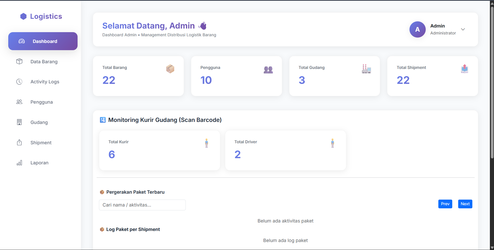
Overview
A logistics distribution management web application for tracking cargo shipments and monitoring delivery routes with interactive map visualization. The system leverages OpenStreetMap API for geocoding and route display, enabling customers to track shipments in real-time while providing operators with tools for managing deliveries and fleet positions — all built with a server-rendered Flask architecture.
Gallery
The Challenge
The logistics company relied on manual tracking and phone-based status updates, making it nearly impossible for customers to know where their shipments were in real-time. Delivery routes were planned manually without geographic data, leading to inefficient routing, missed delivery windows, and increased fuel costs. There was no centralized system to geocode addresses, visualize routes, or display shipment positions on a map.
The company needed a cost-effective, map-integrated platform that could geocode delivery addresses, display real-time tracking on OpenStreetMap, and streamline the entire shipment lifecycle from pickup to delivery.
The Solution
I developed a full-stack logistics platform using Flask (Python) for the backend with PostgreSQL for robust data management. The frontend uses a combination of Tailwind CSS and Bootstrap for a responsive UI, with Jinja2 for server-side rendering. I integrated the OpenStreetMap API with Nominatim geocoding to convert delivery addresses into map coordinates, enabling interactive route visualization and real-time shipment tracking on the map. The system supports geocoding of origin and destination addresses, route display, and a tracking interface for customers to monitor their cargo status.
Core Features
Geocoded Shipment Tracking
Automatic address-to-coordinate conversion using OpenStreetMap Nominatim API — customers see their shipment position on an interactive map with route visualization.
Delivery Route Management
Operator dashboard for planning and optimizing delivery routes using geocoded waypoints, with map-based visualization of active and completed routes.
Real-Time Status Updates
Live shipment status tracking from pickup through transit to delivery, with map-based position history and estimated arrival times.